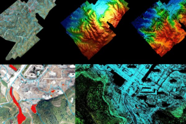
Emergency Modeling
Drone emergency modeling offers rapid, cost-effective, and flexible terrain mapping in crisis scenarios.

Emergency Modeling
Drone emergency modeling is a swift, cost-efficient, and adaptable method for terrain mapping. It’s particularly suitable for small-scale, high-precision, and rapid response situations, like disaster management and environmental monitoring.
Traditional Emergency Modeling Pain Points
- Limited data collection due to geographical and time constraints.
- High cost and time consumption in deploying human resources for data collection.
- Risk of human safety during data collection in hazardous areas.
- Inaccuracy and incompleteness of data due to human error.
- Slow response time due to logistical issues.
Advantages of Emergency Modeling
- Drones can access hard-to-reach areas and collect data in real-time.
- Drones are cost-effective and efficient, reducing the need for human resources.
- Drones ensure safety as they can be operated remotely in hazardous areas.
- Drones provide precise and comprehensive data, minimizing human error.
- Drones have quick response time, providing immediate situational awareness.