Land Surveying
Drones in construction offer aerial surveys, real-time monitoring, high-precision mapping, and efficient inspections

Land Surveying
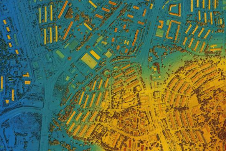
Drones in construction significantly enhance land surveying by providing aerial photography, real-time monitoring, and high-precision mapping. They can access hard-to-reach areas, greatly improve efficiency, and assist in environmental impact assessments.
Traditional Land Surveying Pain Points
- Manual methods can be time-consuming and require significant manpower.
- Difficult to access hard-to-reach or dangerous locations.
- Traditional methods may lack real-time data capturing.
- Errors may occur due to human intervention.
- Environmental impact could be high with traditional methods.
Advantages of Drone Land Surveying
- Drones provide fast, efficient data collection, reducing the need for large survey teams.
- Drones can easily navigate and capture data from challenging terrains, enhancing safety.
- Drones offer real-time monitoring and instant data transmission.
- Drones ensure high-precision mapping, minimizing the risk of errors.
- Drones help in conducting low-impact environmental assessments.